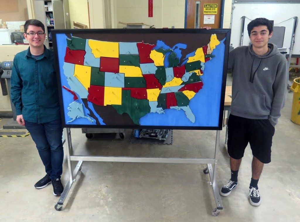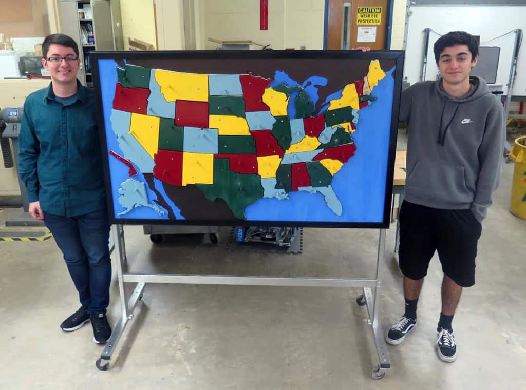
The map will be given to the district’s social studies department, according to WTHS teacher Rick Ambacher.

It was a project years in the making. Finally, it’s complete. After several delays and bits of work done over the course of four years, a group of students in Mr. Rick Ambacher’s Engineering Design “Capstone” class at Washington Township High School have completed a large-scale model of the United States, that can be used in social studies classes within the school district.
Using a 3D printer and a CNC router — a computer-controlled cutting machine — to create individual states, the previous years’ classes got the project off to a good start. However, there were delays — including several states accidentally getting thrown away at one point, the original teacher who requested the map retired, and the project didn’t draw as much interest. At the beginning of the 2017–18 school year, Ambacher let his students know they could pick whatever project they wanted to do, with one stipulation: the map had to be finished first.
Seniors Justin Radano and John Castagna. Radano took the lead on the project and guided it through, while Castagna assumed responsibility for the painting and finishing touches.
“I really wanted to take charge of it. I thought it was a good opportunity,” Radano said. “We get to finish something that’s going to be used by other students. The project will be here way after we leave.”
Added Castagna: “Some of the other kids who worked on it came in a few weeks ago to check it out, and they said it looked good. One of them is about to graduate college. It’s been going on a long time. We just have a few touch-ups to make, and it will be done.”
Each state can be placed and removed from the map individually. They are held on the frame by dowel rods and Velcro. A rotating group of students in Ambacher’s classes chipped in to sand and paint the states, but Radano and Castagna made it their baby. Each state was cut to scale, and they tried to make sure no same-colored states bordered one another. The wood frame that holds the background, as well as the metal frame — on wheels — that the board is attached to, were created in Ambacher’s classes. It is a complete, from-scratch project.
“I think it turned out great,” Ambacher said. “The kids finally took to it, and they wanted to make sure it got done, but also that it got done right. They did a nice job.”
Originally, the map was requested by WTHS social studies teacher Jack Kirkwood, as he thought his students were struggling to recognize the states and could use something visual to assist. With Kirkwood having retired, however, Ambacher said he is going to give the map to the District’s social studies department, and it could end up at a middle school or elementary school.
“It will definitely be put to good use,” he said.


